Last year the old motorhome suffered a mechanical meltdown. It overheated on a long, steep pass. The engine siezed and died on the side of the road. Hard down. The fallout was a major pain between getting it towed and finding a shop to fix it. Plus a six week wait and a huge kick in the wallet. Suffice it to say that such a hard lesson motivates increased preventive measures going forward.
Since avoiding mountains altogether is not an option, the trick is better expectations about road grades early and often. Starting with travel planning. Google Maps has long been my go to resource. I just found a new (to me) way to use it smarter. First, switch from Auto to Bike mode. That shows a graph of elevation changes from beginning to end. For the whole route of course.
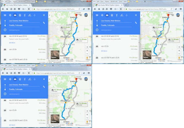
I actually like how it totals all the ups and downs as well as the overall difference from start to end. In this case the last leg has the most elevation gain north from Las Cruces, NM to Pueblo, CO. Cropping the route to just that portion does a few things. In this case the default of three suggested routes happens to be the shortest in both time and distance, as well the flattest. Here's an Animated GIF for comparison. (Note: the image can be clicked for a full size view in another browser/tab.)
Using just a road atlas it'd be tempting to just take I-25 north. However, notice how none of the options presented in Bike mode include interstate. Now look what happens when the mode is switched back to Auto.
While not the longest of three suggested routes, the interstate also isn't the shortest nor the fastest either. Hm.
Back in Bike mode, notice how all three routes shared the same initial climb. Cropping the route to just the first part from Las Cruces to White Sands shows it better.
It's a pass just east of Organ, NM on US-70 in the saddle between the Baylor and San Augustin peaks. Changing from Map to Terrain mode makes it more clear. As does further cropping the route down to just the uphill climb.
From there the math is pretty straightforward. Just divide 843 feet of elevation by 3.0 miles of road. Also dividing by 5,280 feet per mile yields 0.053 or 5.3% grade. That's not so bad on paper. However, having driven that road a few times I happen to know that there's not much runway after a reduced speed limit through Organ to bank momentum for the climb. And there can be a some down-wash air current which could mean a little headwind to fight.
That said, knowledge is power. Realistic expectations can be managed with less stress on the power train. And less anxiety for the driver.


